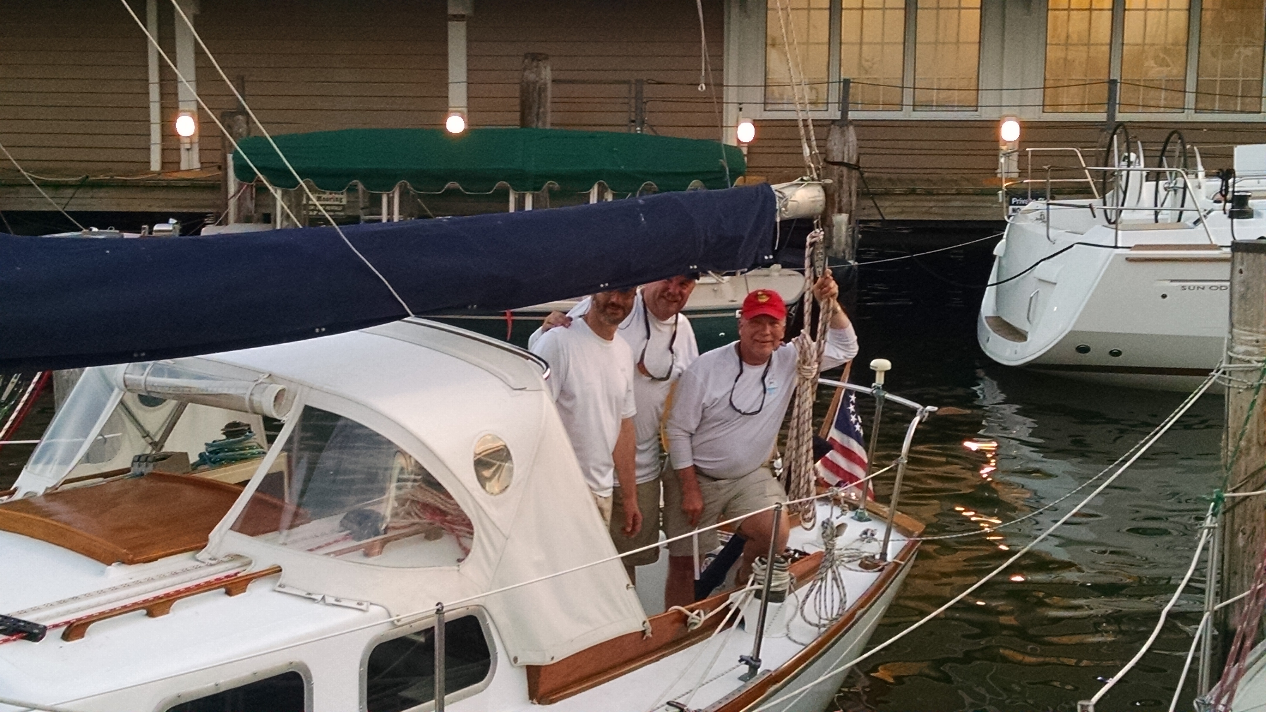
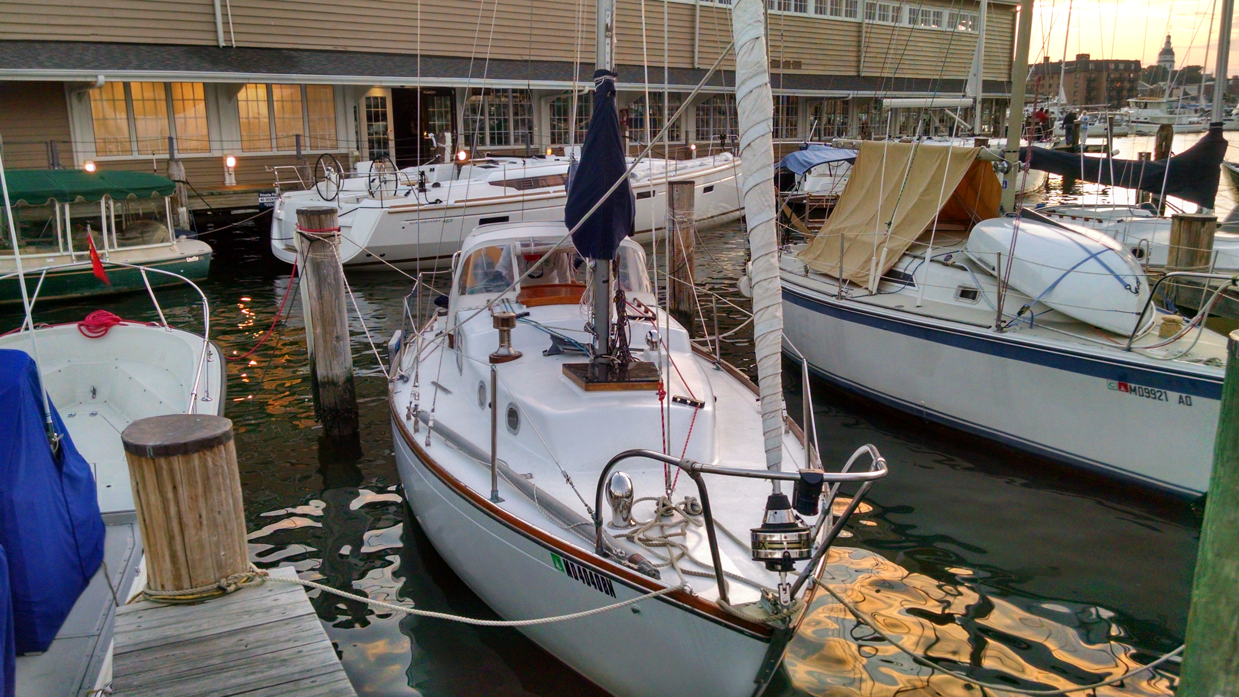
Departed Back Creek in Solomons Island Maryland at 11:35 in very light breezes under mail and jib assisted by diesel motor. Headed west and south of shallow triangular area immediately south of Solomons Island. Passed close to Drum Point MD . Set course for Chesapeake Bay shipping channel mark G "77". Passed east of LNG terminal located between Cove Point MD and Rocky Point MD . Passed power plant about 13:10. Formed course for Thomas Point Shoal Light using Garmin GPSMAP 192C by creating a waypoint in GPS display unit. Re-rove various halyards, spinnaker lines, boom vang, etc. Flew spinnaker briefly to examine sail and check line leads. Arrived at the mouth of the Severn River and called Leah to pick us up from the marina. Arrived Yacht Haven Annapolis. Flood tide and three blade propeller provided about 6 knots speed over ground. Poor entry to slip A-5, fend off of piling to be placed at starboard stern required. Reverse highly effective in correcting for poor entry to slip. Tied up, bedded boat down for the night. Headed home.